Layered Earth Physical Geography - Professor's Edition (AP & College; 1 User)
Five Important Advantages of Layered Earth Physical Geography
- No need to update software. You are always using the latest version every time you login.
- Easier installation and maintenance.
- Works over the internet with a modern web browser.
- Accessible on most devices, including Desktop Computers, iPads, Chromebooks, and Tablets.
- Eliminates the need for your IT department to maintain the software.
|
|
- 50+ lessons correlated to your textbook and curriculum
- Clear articulation of learner expectations for each lesson through the use of an introductory Guiding Question, bulleted Key Concepts, and a Lesson Summary highlighting the main points of review
- An attractive learning environment with clear and easy to follow progression of concepts
- Accurate and innovative visualizations and simulations that engage students and illustrate and enhance basic concepts
- In-depth discovery exercises that foster observation, measurement, mathematical and analytical thinking skills
- Pre- and post-assessment activities to test student knowledge and learning and reinforce basic concepts
- Incorporates learner strategies from current educational research such as anticipation guides, multiple intelligences and graphic organizers
- Numerous links and extensions for a rich learning environment that provide connections to mathematics, literacy, history, travel, and STSE (Science, Technology, Society and the Environment)
- Teachable Moments feature keeps content fresh and relevant by providing educators with auto updates of new lessons, exercises, simulations, and phenomena!
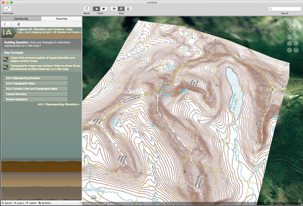
- Maps, Remote Sensing and GIS
- Earth's Energy Balance
- The Atmosphere, Weather and Climate Systems
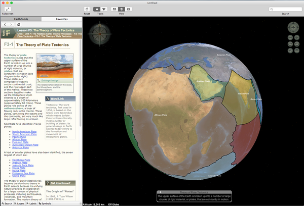
- Tectonic Processes and Landforms
- Volcanism and Landforms
- Weathering and Mass Movements
- Groundwater Landscapes
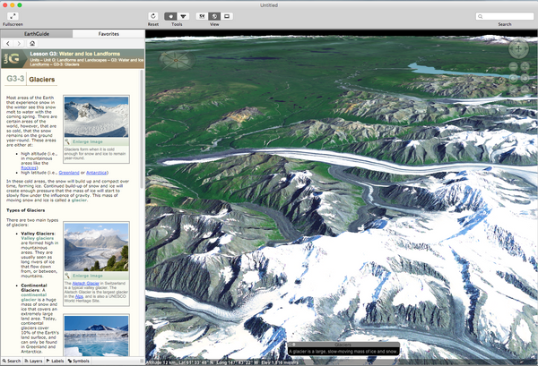
- Fluvial, Eolian, Glacial and Coastal Processes
- Biomes, Plant Geography and Soils
Layered Earth embraces the 5E method of science instruction and lesson planning: Engage, Explore, Explain, Elaborate and Evaluate. These are the STEM cornerstones of good science. Lessons correlate to both the NGSS (Next Generation Science Standards), the US National Science Education Standards and the Common Framework of Science Learning Outcomes in Canada.
More Curriculum Features (1/3)
More Curriculum Features (2/3)
More Curriculum Features (3/3)
License
Layered Earth Physical Geography operates for one year. Classroom licenses covers one teacher and all students within that class.
For questions and quotes regarding more years or classrooms/sites, please contact us below:
- Call: 1-866-688-4175 ext 1
- Email: education@simcur.com
- Web: Contact Us Form